

Let Our Aerial Intelligence Be The Solution For You
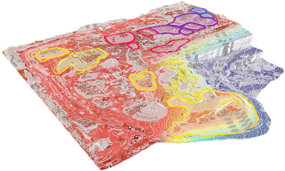
At Drone Scan Solutions, we specialize in providing comprehensive topographic mapping, GIS mapping, cut and fill and inspection solutions that save time and help your business thrive.
Across diverse industries, such as agriculture, construction, and the commercial sector, our drones can quickly gather data to create detailed 3D maps and models. Our expertise in drone mapping and inspection can help take your business to the next level. Let us show you how.
What We Do
Drone Scan Solutions is a leading Canadian Drone Service company, located in the Greater Toronto Area. We are a team of highly skilled pilots, engineers, and data analysts, all of whom are trained and certified by Transport Canada. Equipped with cutting-edge UAV technology, we offer unparalleled data collection services that cater to a wide range of industries.
Through our state-of-the-art drone mapping and inspection services, we empower you to swiftly identify and resolve issues, bolster safety measures, and optimize both time and cost efficiencies.
